| The LIPA power lines surface behind the U.S.P.S. facility at Mitchel Field. They then follow the Central Rail line
to a point just west of the Meadowbrook Parkway. At that point they drop below ground. They resurface approximately
1/2 mile east of there in Eisenhower Park At the point they surface the LIMP would be (if it still existed) 1/4
mile north. The Central Rail ROW in Eisenhower park is a good place to observe the continuity of the LIPA power
lines. The lines drop below ground on the CR ROW prior to the Meadowbrook parkway and resurface in the park in
the same ROW path. From the path looking west you can see the drop down tower. The "V" marks the spot,
the picture is a full size (right click to view). |
 |
| This shot was taken after doing a 180 about-face. From this you can see the power lines are still on course with
the Central Rail. The "v" marks the spot of the tower. The image is full size (right click to view).
The path of the LIMP is still 1/4 mile north of this spot. |
 |
| The LIMP follows the power lines by the Wantagh overpass. It then moves north to Orchid St. (Levittown Grandstand
area) and by Bloomingdale (Levittown) avenue it descends back to the Central Rail ROW. From there it follows the
CR ROW till Bethpage Parkway. The LIPA lines follow the Central Rail ROW. |
 |
 |
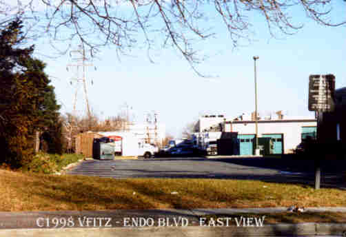
| LIPA drop down tower from Endo Blvd. The view is east. |
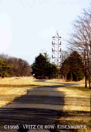
LIPA resurface tower- Eisenhower park. The view is east. |
|


